Store Hours: Mon-Fri: 10am-6pm | Sat: 10am-5pm | Sun: Closed - 337.232.5854
  • My Account
  • About Us
  • Blog
  • Contact Us
Pack and PaddlePack and PaddlePack and PaddlePack and Paddle
  • Buy Online
  • In Store Experience
    • The P&P Kayak Buying Experience
    • Fishing Department
    • Clothing Department
    • Camping Department
    • Footwear
    • Travel
    • Gifts
  • Trips, Events & Rentals
    • Trips, Events & Rentals
    • Private Trips and Classes
  • Education
    • Book a Gear Mentor
    • Kayak Fishing Articles
    • Kayak Fishing Videos
  • Discover Local Areas
    • Where to Kayak Fish
    • Where to Go Kayaking
    • Where to Hike & Camp
    • Learn the Gear to Bring

Southern Atchafalaya Eagle Route

    Home places Southern Atchafalaya Eagle Route

    Southern Atchafalaya Eagle Route

    By pack_admin | | Comments are Closed | 29 December, 2016 | 0

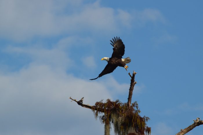
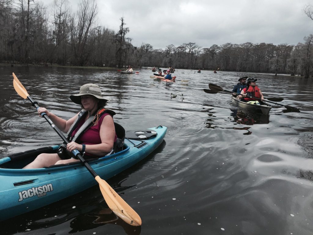
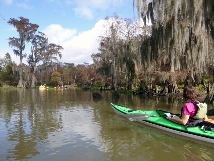
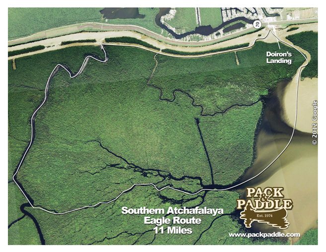
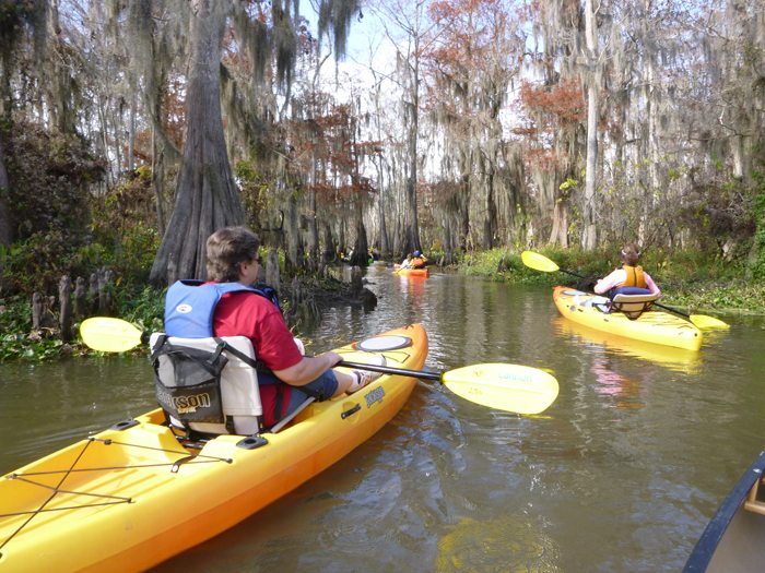
    This challenging 11 mile loop combines a fantastically beautiful route along natural bayous, through large rivers and lakes.  You’ll see many of the trees and critters that the Basin is know for: Cypress and Tupelo, Great Blue Herons, migratory songbirds, alligators, snakes and much more.  Combine all of this with sightings of majestic Southern Bald Eagles soaring high overhead or perched on stumps and you have a route that is memorable, beautiful, challenging and exciting.  For the best chance to view the Southern Bald Eagles, paddle this route between late September through late March.

    Conditions to consider:

    This route has several challenges:
    1)  The 11 mile length can be challenging for some.  Plan on at least 6-7 hours of paddling time (not including breaks).
    2)  TheAtchafalayariver segment can have some currents and some boat traffic.  Please use caution here.
    3)  The part of the loop that passes throughFlatLakecan be rough on a south, southwest or west wind.  Use caution in this section.
    4)  There are several turns to make on this route.  Be sure to carefully use your map and/or GPS to stay on track.

    Directions:

    In Morgan City, take Hwy 70 north from I-49.
    Look for Doiron’s Dock sign on the left and the Chevron station on the right a few miles out of town.
    Go into the Chevron Station to pay your launch fee.
    The launch is across the street and over the levee.
    • Discover Local Areas
    • Where to Kayak Fish
    • Where to Go Kayaking
    • Where to Hike & Camp
    • Learn the Gear to Bring
    • Book Kayak Rentals
    Eagle Route

    Download Map – Color
    Download Map – Eagle Route

    No tags.

    • Home
    • About Us
    • Contact Us
    • Blog
    • Employment Opportunities

    Latest Posts

    • Adventuring in Mexico with John & Becky Thursday, June 6, 2024
    • Bill Swift Weekend at Pack & Paddle Monday, October 30, 2023
    • 50 Years and 50 Milers – A Buffalo River Story Monday, June 26, 2023
    • Father’s Day Guide For Outdoor Dads Wednesday, June 7, 2023

    Location

    601 E Pinhook Road
    Lafayette, LA 70501

    Join Our Newsletter

    Recent Videos

    Copyright © 2025 Pack & Paddle | All Rights Reserved | Powered by Eight Hats
    • Buy Online
      • Kayak Delivery
      • Kayaks & SUP’s
      • Paddles & PFDs
      • Kayaking Accessories
      • Kayak Fishing Accessories
      • Hobie Pro Shop
    • In Store Experience
      • The P&P Kayak Buying Experience
      • Fishing Department
      • Clothing Department
      • Camping Department
      • Footwear
      • Travel
      • Gifts
    • Trips, Events & Rentals
      • Trips, Events & Rentals
      • Private Trips and Classes
    • Education
      • Book a Gear Mentor
      • Kayak Fishing Articles
      • Kayak Fishing Videos
    • Discover Local Areas
      • Where to Kayak Fish
      • Where to Go Kayaking
      • Where to Hike & Camp
      • Learn the Gear to Bring
      • Book Kayak Rentals
    • History
    • Blog
    • Contact Us
    • 337.232.5854
    Pack and Paddle